The route of a mountain pass typically takes advantage of a low point in a ridge called a topographic saddle.
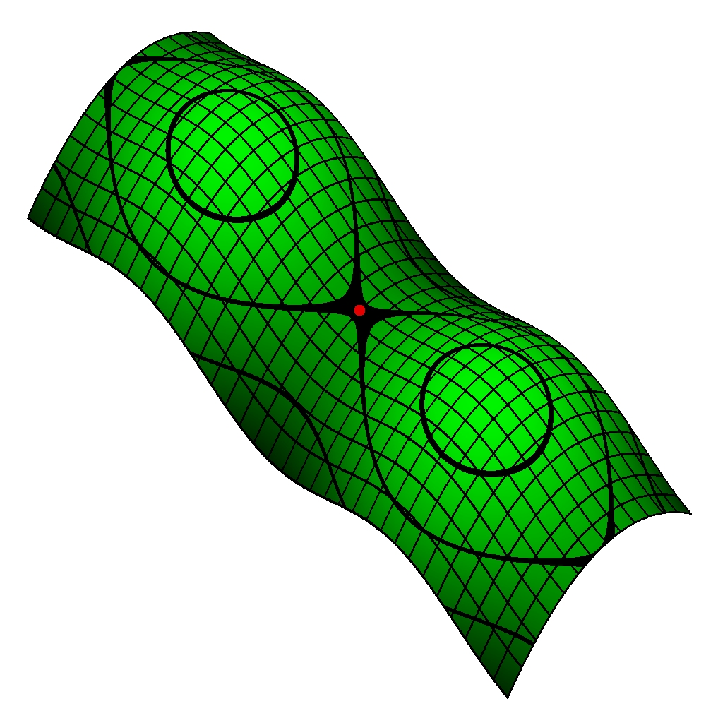 |
| Saddle point (red dot) |
A saddle point, indicated by a red dot (right), marks the lowest point along a ridge that also represents the highpoint between two valleys.
Finding passage through a mountain range is often a matter of locating a saddle. A saddle is also known as a gap, a notch, or a col.
Arthur Cayley advanced a theory of continuous surfaces in 1859 which is the mathematical foundation for contemporary topographic maps. Cayley proposed contour lines connecting points of constant elevation and slope lines perpendicular to the contour lines. Such maps assist hikers planning a route through mountainous terrain.
Over every mountain there is a path, although it may not be seen from the valley.
— Theodore Roethke
.JPG) |
| View below the Beartooth Pass, 19 September 2014 |
Historically mountain ranges have been formidable barriers to human travel. Mountain passes have played a role in migration, trade, and battle. Khyber Pass is part of the ancient Silk Road which has been a trade route between Central and South Asia for centuries.
| Thorung La | 17,769 ft | Through the Damodar Himal, north of the Annapurna Himal, in central Nepal. |
| Beartooth | 10,947 ft | Through the Beartooth Moutains on the border of Montana and Wyoming. |
| Donner | 7,056 ft | Through the northern Sierra Nevada, above Donner Lake. |
| Brenner | 4,495 ft | Through the Alps along the border between Italy and Austria. |
| Khyber | 3,510 ft | Part of the Silk Road connecting Afghanistan, Pakistan and India through the northeastern part of the Safēd Kōh mountains. |
It is not the mountain we conquer but ourselves.
— Edmund Hillary
REFERENCES
- Geographic Information Science and Mountain Geomorphology, edited by Michael Bishop, John F. Shroder, Springer 2004.
- Mountain Pass, Wikipedia.


